[ Article ]
Enhancing Wildfire Preparedness: The GeoAI Solution for New Zealand's Fire and Emergency Services
Written by Kurt Janssen
30 July 2023
Share this post
Orbica is pleased to announce that, alongside Fire and Emergency New Zealand (FENZ), we have utilised the power of GeoAI to help enhance the national wildfire hazard layer FENZ were using.
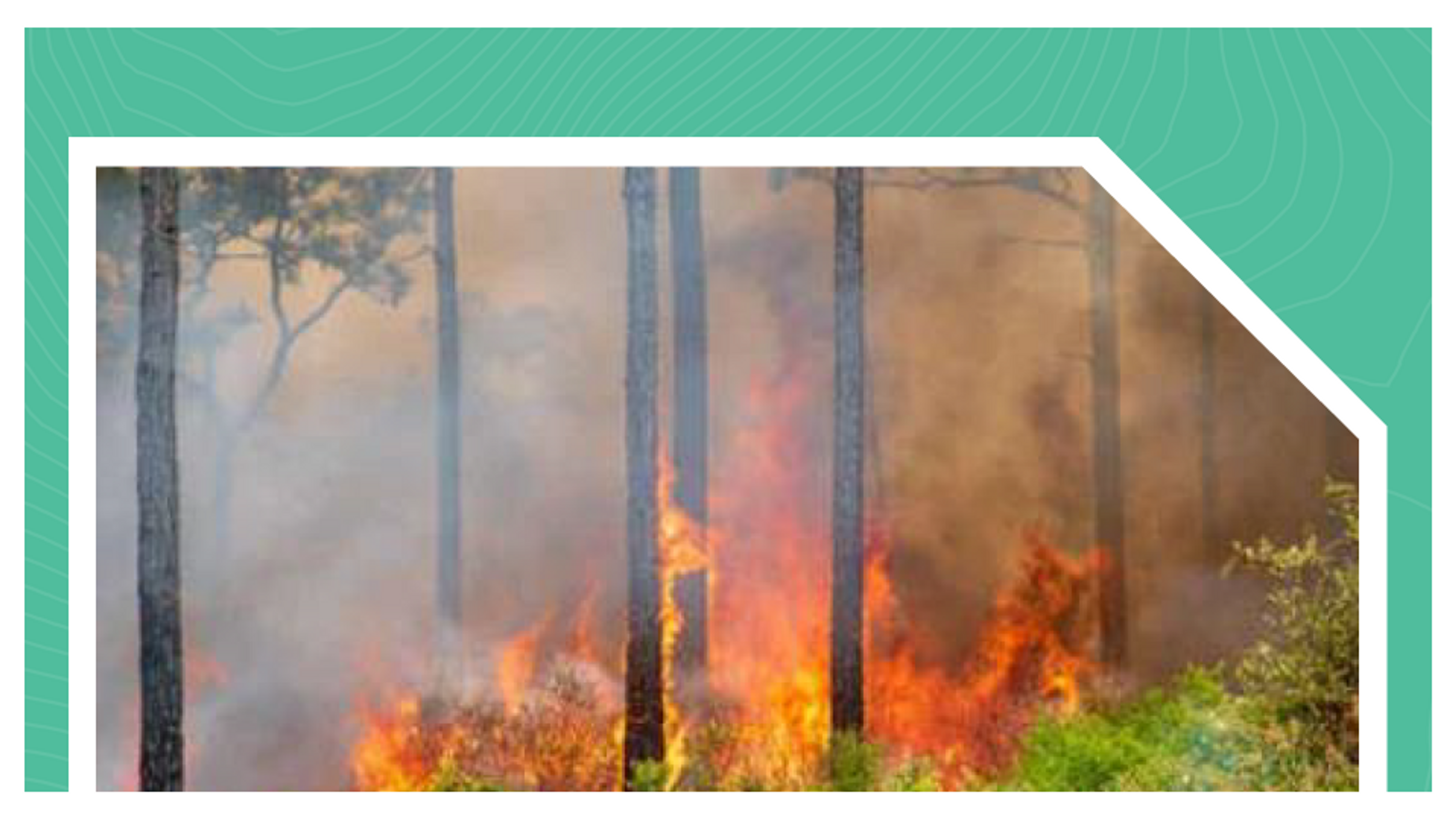
Fire and Emergency New Zealand is the nation's paramount Crown entity, responsible for providing comprehensive fire and emergency services across the stunning landscapes of Aotearoa. In addition to responding to emergencies, the organisation actively works towards reducing fire risks in both urban and rural communities. Understanding the distribution of vegetation plays a crucial role in mapping fire fuels, enabling the assessment of potential wildfire hazards in different areas. However, the existing model utilised by FENZ had its limitations, mainly due to outdated data and amalgamation of vegetation classes.
The fuels layer in the previous model, which determined wildfire threats, relied solely on the Landcover Database. Unfortunately, this database suffered from significant drawbacks, including its lack of temporal accuracy and improper amalgamation of certain vegetation classes, compared to earlier versions. As vegetation distribution can change rapidly, especially concerning critical wildfire fuels, the Landcover Database's infrequent updates became a significant hindrance.
Recognising the need for a solution to augment the database and enable annual updates on a national scale, Orbica responded to the challenge with its groundbreaking GeoAI solution. Through leveraging open-source Sentinel 2 satellite data, it was possible to revolutionise wildfire risk analysis and management. The GeoAI model's implementation was further strengthened by leveraging the powerful AWS cloud infrastructure. This cloud-based approach allowed for efficient storage and accessibility of vast amounts of data, as well as seamless hosting of the GeoAI model itself.
The results of Orbica's GeoAI model were truly game-changing. An updated national vegetation layer, effectively serving as a fire fuels layer, was produced and made available for ingestion and analysis by Fire and Emergency. This formed an integral part of the national wildfire hazard layer, providing invaluable insights to support fire management decisions nationwide. By enhancing wildfire risk analysis, this cutting-edge GeoAI solution was instrumental in strengthening New Zealand's wildfire preparedness and response capabilities. This pioneering approach exemplifies the fusion of technology and expertise to enhance public safety and environmental conservation.
You can read more about this Project here, or get in touch with us here to start a conversation about how we can help you through the power of Geospatial.